Fishing
SHASTA FISHING
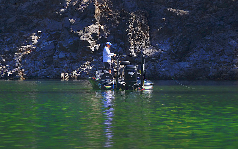
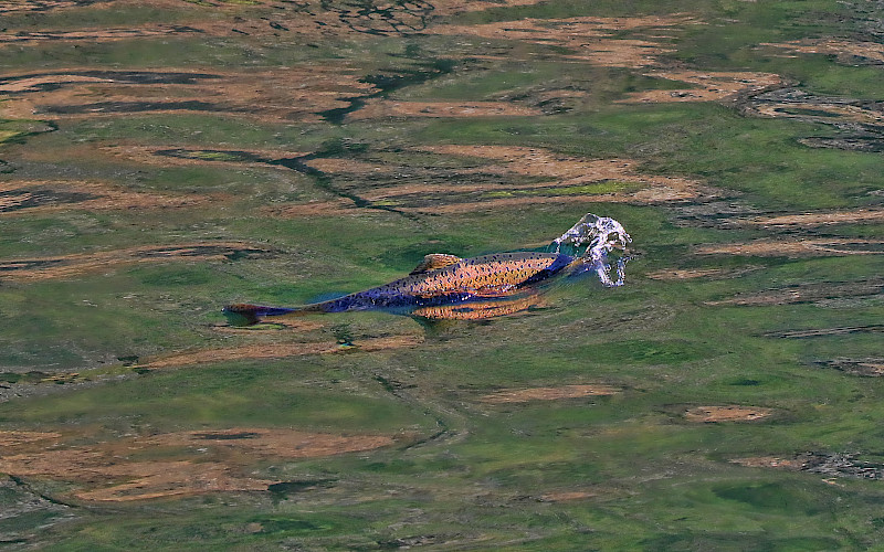
Types of fish – rainbow trout, brown trout, largemouth bass, smallmouth bass, spotted bass, Chinook salmon, bluegill, black crappie, Sacramento sucker, white sturgeon, squawfish, white catfish, Threadfin shad, brown bullhead, golden shiner, green sunfish, riffle sculpin.
-
Trout fishing – best during spring fishing on the McCloud Arm north of Hirz Bay, The Sacremento arm, Big Backbone Creek, and Little Squaw Creek, during summer trout move to deeper lake levels – successful baits are live minnows, and marshmallow /egg combinations. Successful lures used for trolling are Kastmasters, Rebels, Thinfins, Z-rays, Z-r or X-5 Flatfish, and Rapalas.
-
Bass Fishing – Good year round but best during spring and early summer, fishing in shallower waters is best. Successful baits are mostly live baits, rubber worms, and spinner baits.
-
Catfishing – best during summer nights on the main arms of the lake. Best baits are chicken liver, anchovies, and stink baits used at low depths.
TRINITY FISHING
Types of fish include smallmouth bass, largemouth bass, rainbow trout, catfish, kokanee salmon, Chinook salmon.
-
Bass fishing – dredger piles near the head of the lake is the most promising locations. Fishing near the shoreline during spring (March-June) is best.
-
Trout fishing – found year-round throughout the lake but best during spring where they can be found nearly anywhere. During the summer months trout tend to stay near the mouths of the major tributaries.
LEWISTON FISHING
Types of fish – rainbow, brown, and brook trout.
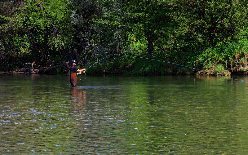
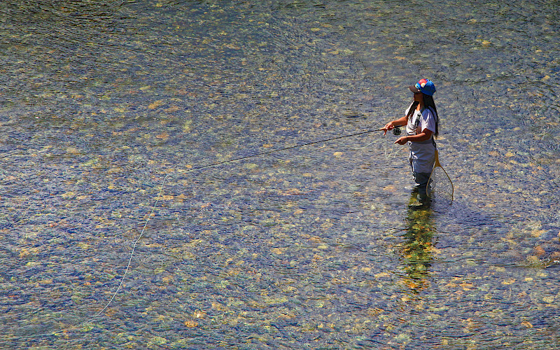
Trout fishing – fishing is great year-round on the upper parts of the lake, fly fishing is great using callibaetis or midge under an indicator. Trolling and bait angling are also successful.
STATE FISH RECORDS
The State Record for the Brown bullhead catfish was caught in Trinity Lake. It weighed 4 lbs 8oz.
Also, the State record for an Inland Chinook salmon was caught here. It weighed 20 lbs 15oz.
Facility Details
Purchase Fishing Licenses online at California.gov https://www.ca.wildlifelicense.com/internetsales/
Or contact these stations below:
SHASTA
California DFG
Phone: (530) 275-1587
Address: 601 Locust Street, Redding, CA 96001
Walmart
Phone: (530) 221-2800
Address: 1515 Dana Drive, Redding, CA 96003
Phil’s Propeller
Phone: (530) 275-4939
Address: 3037 Twin View Blvd, Shasta Lake, CA 96019
TRINITY & LEWISTON
California DFG
Phone: (530) 623-4016
Address: 3 Horseshoe Lane, Weaverville, CA 96093
CVS Pharmacy
Phone: (530) 623-4866
Address: 1311 Main Street, Weaverville, CA 96093
Holiday Market
Phone: (530) 623-2494
Address: 1655 Main Street, Weaverville, CA 96093
Boating
PUBLIC BOAT RAMPS
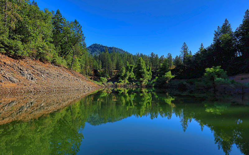
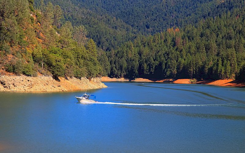
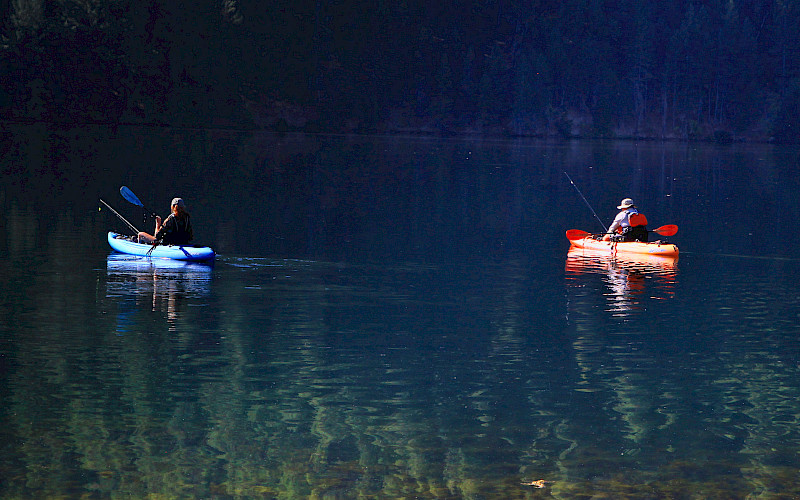
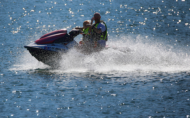
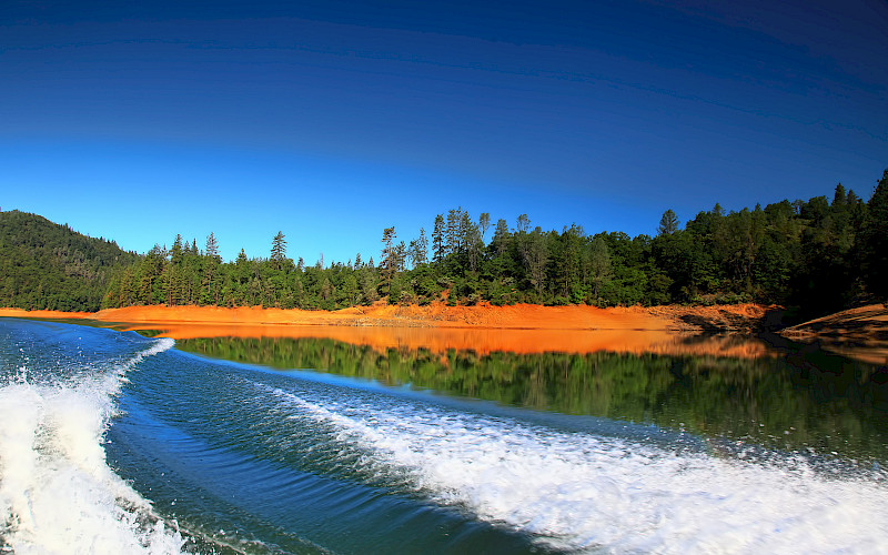
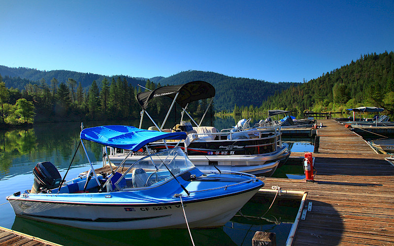
Shasta Lake’s many coves and arms make it an ideal spot to take your boat, regardless of the type. Open areas for personal watercraft and wake-boarding, quiet coves for fishing, and calm hideaways to take a kayak are all available to you. The lake has many launch points to help you cut down on on-water travel time to your favorite destination.
Trinity Lake offers 145 miles of tree-lined shoreline. There are a variety of coves and arms perfect for fishing or a quiet picnic on the water. The main body of the lake has plenty of room for water sports like wakeboarding or tubing. There are multiple launch ramps around the lake that make getting in and out a breeze. Fishing includes rainbow trout, largemouth bass, and smallmouth bass, and is best in the spring and fall, though the cooler water temperatures will help you catch fish year-round. Consider catching your dinner one night!
Lewiston Lake is perfect for quiet canoe or kayak rides across the lake. Even better is the world-class trout fishing. Species of trout available for you to catch include rainbow, brook, German brown, Loc Levin brown, and eagle. This lake is truly a trout angler’s paradise!
Our Annual Season Pass allows you unlimited access to Shasta or Trinity and Lewiston or all three dependent on pass type. Annual Passes are available for sale now!
Facility Details
SHASTA BOAT RAMPS
ANTLERS BOAT RAMP
Antlers Boat Ramp located on the Sacramento River Arm of Shasta Lake stays in the water till around -71' drawdown.
Use Fee: $18.00 per vehicle/day
BAILEY COVE BOAT RAMP
Bailey Cove Boat Ramp located on the McCloud Arm of Shasta Lake stays in the water till around -51' draw down.
Use Fee: $18.00 per vehicle/day
CENTIMUDI BOAT RAMP
Centimudi Boat Ramp located right by Shasta Dam on Shasta Lake. Centimudi has 3 ramps that stay in the water till around; Ramp #1 -123', Ramp #2 -190' and Ramp #3 -218' draw down.
Use Fee: $18.00 per vehicle/day
HIRZ BAY BOAT RAMP
Hirz Boat Ramp located right on the McCloud Arm of Shasta Lake. Hirz Bay has 3 ramps that stay in the water till around; Ramp #1 -46', Ramp #2 -92', Ramp #3 -120' draw down.
Use Fee: $18.00 per vehicle/day
JONES VALLEY BOAT RAMP
Jones Valley Boat Ramp located on the Pit River Arm of Shasta Lake. Jones Valley has 3 ramps that stay in the water till around; Ramp #1 -86', Ramp #2 -142', Ramp #3 -210' draw down.
Use Fee: $18.00 per vehicle/day
PACKERS BAY BOAT RAMP
Packers Bay Boat Ramp located on the main body of Shasta Lake stays in the water till around -120'.
Use Fee: $18.00 per vehicle/day
SUGARLOAF BOAT RAMP
Sugarloaf Boat Ramp located on the Sacramento River Arm of Shasta Lake. Sugarloaf has 2 ramps that stay in the water till around; Ramp #1 -111', Ramp #2 -148' draw down.
Use Fee: $18.00 per vehicle/day
TRINITY BOAT RAMPS
BOWERMAN BOAT RAMP
Bowerman Boat Ramp located on the East Fork Stuart Fork Arm of Trinity Lake stays in the water till around -42'.
Season: 05/01-10/31 Water Level Dependent
Use Fee: $13.00 per vehicle/day
CLARK SPRINGS BOAT RAMP
Clark Springs Boat Ramp located on the Stuart Fork Arm of Trinity Lake stays in the water till around -41'.
Season: 05/01-10/31 Water Level Dependent
Use Fee: $13.00 per vehicle/day
FAIRVIEW BOAT RAMP
Fairview Boat Ramp located on Trinity Lake stays in the water till around -57'.
Season: Year Round Water Level Dependent
Use Fee: $13.00 per vehicle/day
MINERSVILLE BOAT RAMP
Minersville Boat Ramp located on the Stuart Fork Arm of Trinity Lake stays in the water till around -200'.
Season: Year Round (Low Water Ramp - Dock Season in Low Water Years 05/01-10/31)
Use Fee: $13.00 per vehicle/day
TRINITY CENTER BOAT RAMP
Trinity Center Boat Ramp located on the main body of Trinity Lake stays in the water till around -65'.
Season: Year Round Water Level Dependent
Use Fee: $13.00 per vehicle/day
LEWISTON BOAT RAMPS
PINE COVE BOAT RAMP
Pine Cove Boat Ramp is located on Lewiston Lake, it has a fishing pier, dock, and a vault restroom.
Use Fee: $13.00 per vehicle/day
Need To Know
Hiking
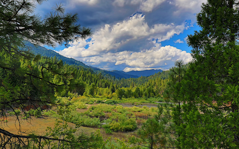
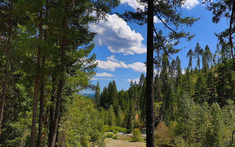
Abundant trails await you setting out from basecamp in your campsite to explore the Shasta Trinity or Lewiston National Forest by incline! Depending on the trail you choose, you will wander through alpine forests or see amazing views of the lake. Choose your hiking destination by browsing through all the options by clicking on Facility Details below!
Facility Details
TRINITY/LEWISTON HIKING
TRINITY ALPS WILDERNESS TRAILS:
This wilderness offers many different trails ranging from 1.5 miles to 15 miles
Varying levels of difficulty
The second-largest wilderness area in California, the Trinity Alps Wilderness nearly doubled in size by the 1984 California Wilderness Act. In that same year, it was added to the National Wilderness Preservation System. It currently has over 600 miles of trails and embraces over 500,000 acres of land. The trails include chiseled granite peaks, alpine lakes, and meadows.
NORTH LAKESHORE TRAIL:
Length of trail is 2 miles
Easy
Located on Lewiston Lake, the North Lakeshore Trail runs from Ackerman Campground to near Pine Cove Boat Ramp and is two miles long. This trail is not shaded so bring a hat and plenty of water for summertime hiking.
SOUTH LAKESHORE TRAIL:
Length of trail is 1 mile
Easy
Directions: One mile north of Mary Smith Campground on Lewiston lake, you will find access to the South Lakeshore Trail. This trail traverses north through an old-growth Douglas-fir forest for one mile and connects with the Baker Gulch Trail.
SHASTA HIKING
BAILEY COVE TRAIL:
-
Length of trail is 3.1 miles
-
Intermediate
-
Great views of the water and mountains.
-
Plenty of shade
-
Directions: From I 5, take exit 695 O’Brien/Shasta Caverns exit. Turn right at end of off ramp. Continue along Shasta Caverns road for four tenths of a mile to the Bailey Cove junction on the right side of the road. Turn right and follow road about six tenths of a mile to the day use area on the left in the upper parking lot.
CLIKAPUDI TRAIL:
Length of trail is 8 miles
Intermediate
Views of the mountains surrounding Shasta Lake, opportunities to explore the the lake’s Pit River arm, and the beauty of Clikapudi Creek and its valley.
Directions:Located 9 miles east of Shasta lake City. From I-5, exit, 687. Turn right and follow Old Oregon trail for three miles. Turn left on to Bear Mountain Road and travel eight and a half miles to the junction of Dry Creek road. At the stop sign turn left and follow road about three miles.
PACKERS BAY TRAILS :
Waters Gulch Trail is 2.8 miles, Overlook Trail is 0.4 mile, Fish Loop Trail is 0.7 mile, East Side Trail is 0.4 mile
Easy
Beautiful views of the lake
Directions: for the East Side and Fish Loop trails: Exit northbound I-5 at O'Brien, exit 695, and join southbound I-5 traffic. Exit at Packers Bay Road. Follow signs toward Packers Bay boat ramp. The Fish Loop Trail begins and end at the Packers Bay parking lot. The Eastside Trail begins at the Packers Bay Marina Boat Ramp. *There is a daily fee for the use of the Packers Bay parking lot.
Directions: for the Overlook and Waters Gulch trails: Exit northbound I-5 at O'Brien, exit 695, and join southbound I-5 traffic. Exit at Packers Bay Road. Follow signs toward Packers Bay boat ramp. Trailheads and gravel parking area are on the right, 1/2 mile before the Packers Bay boat ramp parking lot. The Waters Gulch trail ends at the Packers Bay parking lot. The paved road from the Packers Bay boat ramp parking lot back up to the Waters Gulch trailhead can be walked to complete the loop. Expect steep inclines on this road. If you choose to start at this trail at the Packers Bay parking lot, there is a daily fee for the use of this facility.
View Files:
